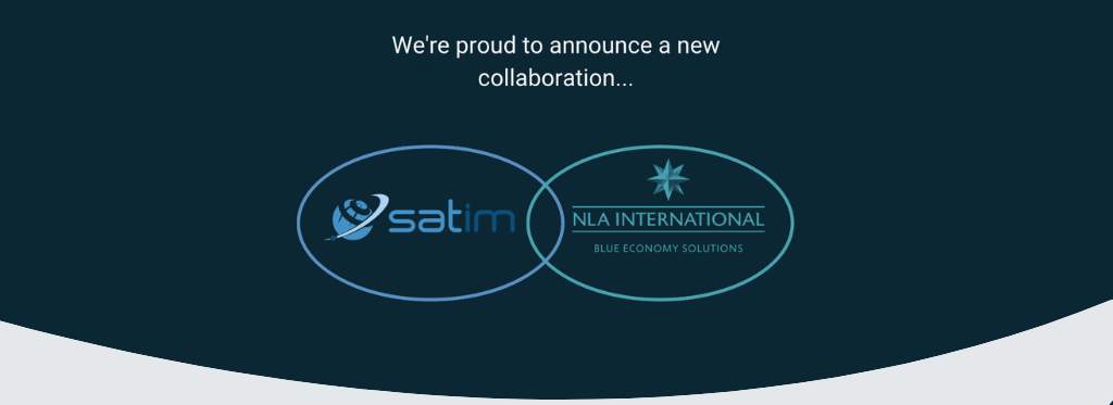
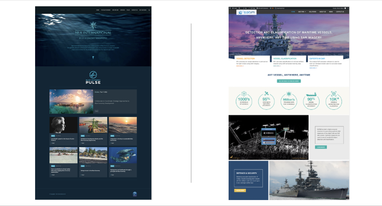
Bringing SATIM's unparalleled capabilities of SAR-based vessel detection and classification into the Maritime market.
Satim has teamed with NLA International Ltd to foster our inaugural approach to the maritime surveillance market building on our shared passion for understanding and regenerating the seas and oceans.
Rear Admiral Nick Lambert, Co-founder and Director at NLAI commented
“The collaboration with Satim underpins our advocacy of Blue Economy solutions and associated technological innovation, particularly the importance of spatial data and near or real time situational awareness (especially from space based assets and applications)”.
In response, Jacek Strzelczyk, CEO of Satim Inc said
“I am really happy to start the collaboration with NLAI, especially with Admiral Nick Lambert, whom I’ve met already back in 2021. We are keen to bring SATIM’s unparalleled capabilities of SAR-based vessel detection and classification into the maritime market and we look forward to working with NLAI to make this happen”.
Watch this space for updates about our collaboration and news about our accurate vessel detection and classification capabilities.