The world drives over a third of its total energy production from oil. As a result, the countries that control the world’s oil reserves often have economic power. Nigeria holds 36,97 billion barrels of proven oil reserves as of 2018, ranking 10th in the world and accounting for about 3,1% of the world’s total oil reserves.
In early 2021, the National Bureau of Statistics of Nigeria determined oil production to be well below the average production before the coronavirus pandemic. According to OPEC’s latest data, issues such as vandalism, crude oil theft, and some offshore issues, including insecurity, regulations, and fines, are responsible for the decline.
The dark side of the fuel market
The impact of oil theft and smuggling is significant and wide-ranging and always results in huge economic loss, human casualties, and extreme environmental pollution.
As one might guess, the highest level of oil theft occurs in countries with large oil reserves and in countries where the complicity among government agencies and security forces with criminal enterprises is big, without proper control measures being in place. The most famous example is Nigeria and its labyrinth of the Niger Delta.
According to a report presented by the Nigeria Natural Resource Charter, Nigeria lost about $8.9 million daily, which sums up to $7.2 billion over the two-year period (2016-2017), which is about 15% of the total number of barrels produced per day. Oil crime, in all its forms, is a significant threat not only to local and regional prosperity but also to global stability and security. The instability in the delta region is one of the factors driving the rise in global oil prices.
How does oil theft happen?
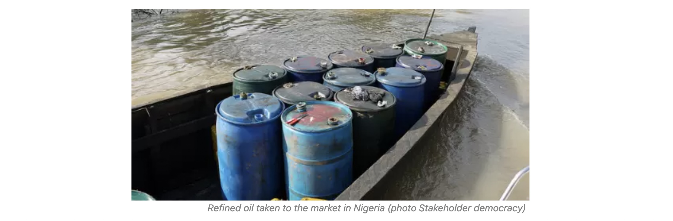
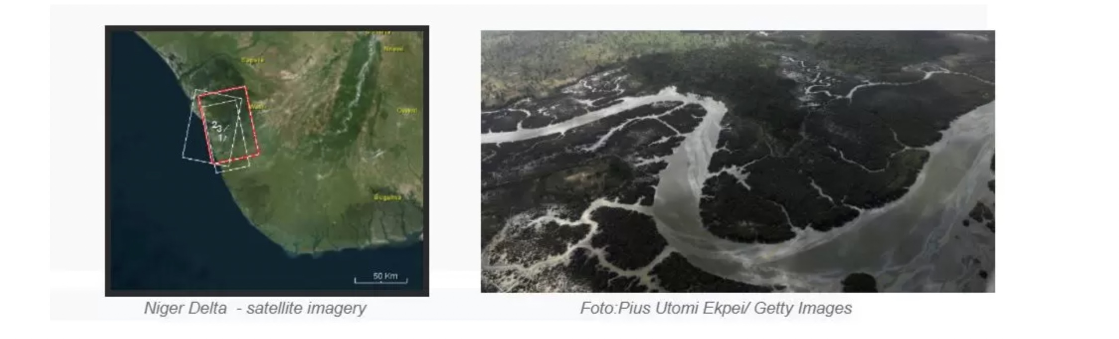
The infamous labyrinth of the Niger Delta is the perfect place for illegal activities to go undetected. Many nooks and crannies, a complex network of hidden channels, and secret connections make it possible to steal crude oil, on a large scale, in many ways. Oil is already being stolen not by tons but by tankers. An example is the Akshay tanker cruise at the end of 2012, which was stopped on the basis of the illegal export of this raw material. However, over the past ten years, the system of theft and illegal exports has changed. But, the methods and means of transporting illegal oil remain the same. Oil is exported by ships in trace amounts, transported on small vessels, or transported to ships that are traditionally considered to be ‘reputable’, and all of this is happening in the muddy regions of the Niger Delta.
How can satellite imagery reveal what’s really happening in Niger Delta?
Fuel theft in Nigeria is so systemic that it will not be stopped any time soon. However, there are some tools and solutions that might help to counter oil theft. Using the SAR satellite technology, we are able to obtain information about the vessel’s activity and maritime changes. Tankers and small vessels conducting ‘dark operations’, can be spotted using satellite-based SAR imagery, regardless of weather conditions or time of day, and reduces the risk of illegal activities around the world.
Use Case
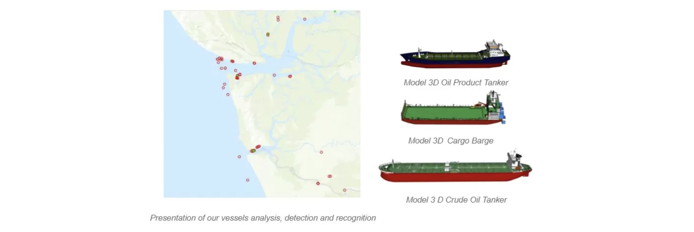
In September 2020, SATIM analyzed vessel activity in the Niger Delta. This analysis was aimed at ship detection and recognition based on a SAR image provided by ICEYE. We have found examples of ships raising concerns about possible illegal activities. In our study, we have focused only on the water-borne objects. The research was conducted based on our AI algorithms trained for vessel detection and classification on any satellite SAR data.
Recognition Results
As a result of the analysis,143 objects were detected and assigned into categories. 47 of them were classified as vessels. If a vessel was at least 50m long, then the classification process was performed.
Large and medium vessels were subjected to the recognition process (30 objects). Each of these vessels was labeled to one of the types (e.g Tankers, Oil Products tankers, Cargo barge). It was made on the basis of its similarity to signatures generated with our simulator.
Recognized:
8 Oil Products Tankers,
5 Tankers,
10 Cargo Barge,
2 Oil barge
2 Crude oil tankers.
Three vessels could not be properly recognized due to the lack of appropriate 3D models in the database. Our results were confronted with data from AIS. Only 5 of the detected vessels had an AIS signal.
SATIM use satellite-based radar imagery to support our customers with the utmost care. Now we try helping to build a great future where radar technology will provide benefits to people. We make SAR easy. If you’re interested, email us at hello@satim.co. We’d love to have a chat.