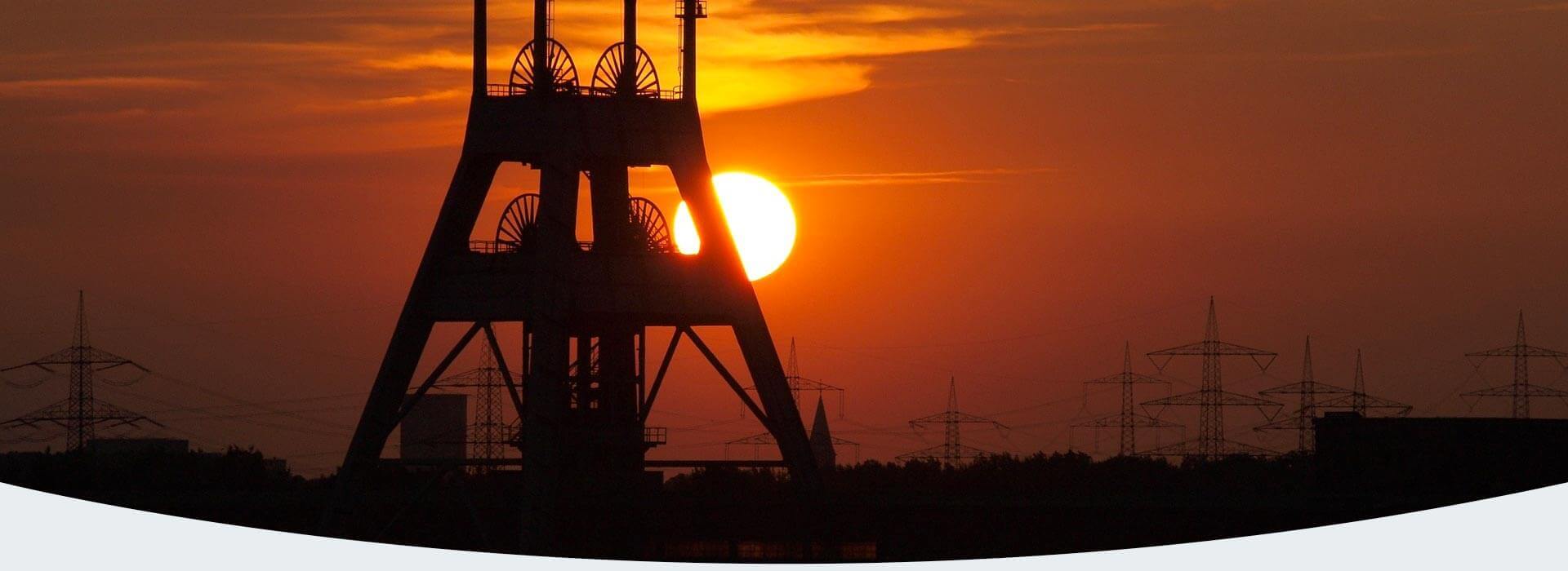
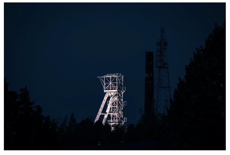
Poland has a strong tradition of coal mining and coal-fired power. Coal was the basis of the country’s industrialization, and today coal-fired power still accounts for over 80 % of total electricity generation.
Exploitable hard coal reserves are located in Upper- Lower Silesia, and in the Lublin basin in the east of Poland, with the Upper Silesian coalfield accounting for 78.9% of the total.
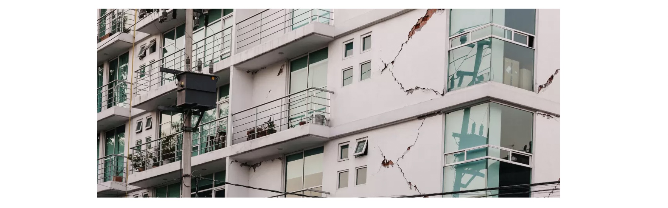
Despite their significance for the economy of Poland, mines in many cases have a negative impact on their neighborhood. One of the effects of mining is land deformation, manifested by the occurrence of e.g. subsidence basins. The problem of mining damage occurs not only during the mining period but also many years after the mine has ceased operation.
Geological disasters, including ground deformation, fractures, and collapse, are serious problems in coal mining regions, which have threatened the sustainable development of the local industry – the safety of residents.
“Everywhere you look on Earth, you see something new” says Paul Rosen, an InSAR pioneer at NASA’s Jet Propulsion Laboratory (JPL).
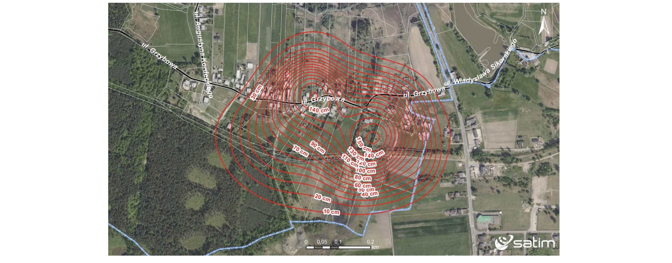
Over the past 5 years, we have managed to analyze the subsidence of land caused by coal mining in the area of more than 3 000 km2 in 54 municipalities in south-eastern Poland.
Our analyzes using SAR images from commercial and public satellites identified not only damage to homes, but also roads, tracks, power lines, gas pipelines, bridges, and many, many more. Owners of private properties and undeveloped plots of land – where subsidence prevents their agricultural use and threatens the stability of buildings – were also affected. The value of the subsidence of the basin in some communes it even exceeds one meter per year, reaching values of even several meters over 10 years. Therefore, post-mining subsidence causes unimaginable economic losses and poses a threat to health.
An innovative answer to the problem
To identify the above-mentioned problems and find a solution to them, SATIM, using its many years of experience in working with SAR imagery, has developed the OsiadanieTerenu.pl online portal. The mechanism of operation of the application is based on the use of satellite radar imagery, and then semi-automatically processed by analysts and transformed into a graphic form.
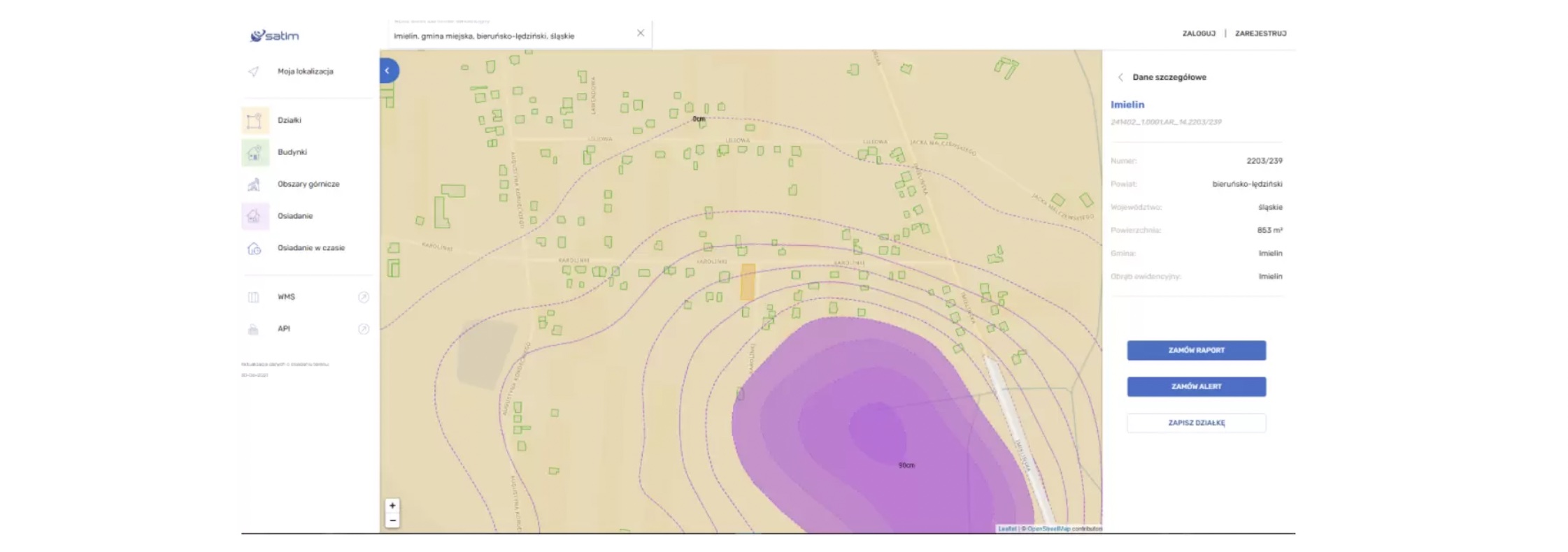
As a result, modern and technologically advanced images presenting identified changes on the ground surface are legible and presented on the portal in an accessible way – in the form of a map with ranges and values of subsidence occurrence. The OsiadanieTerenu.pl application facilitates the user’s control over areas degraded by mining activities and automatically generates reports containing quarterly subsidence values in centimetres. Moreover, OsiadanieTerenu.pl includes the possibility to review archival data and the function of automatic alert in case of detecting new vertical ground movement.
Landslide Monitoring
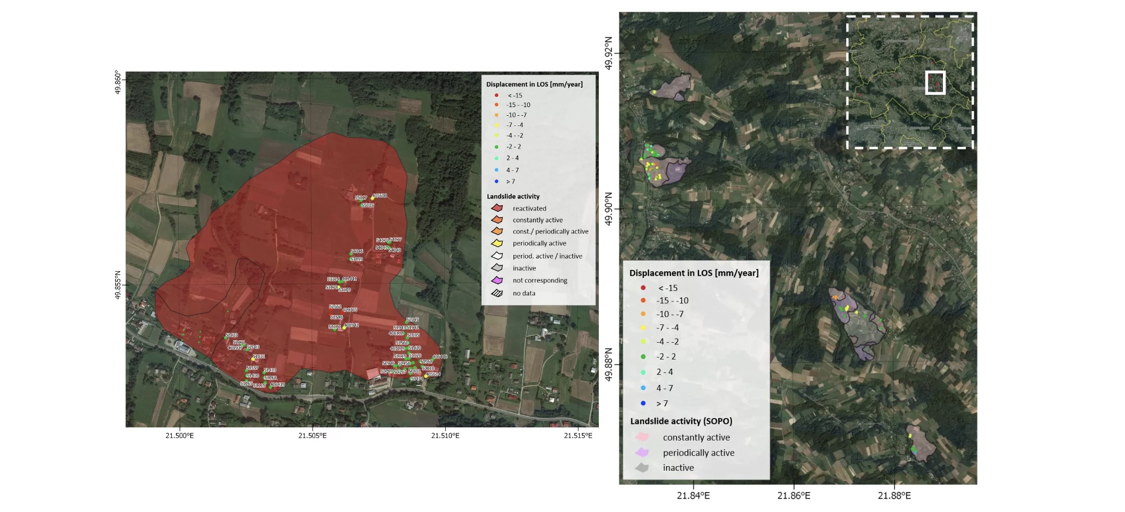
Another product developed at SATIM based on radar imaging is a monitoring service to support different phases of landslide risk management. The service combines existing, established elements as landslide velocity maps derived from stacks of satellite SAR data using Persistent Scatterer Interferometry with completely new monitoring elements, as urgently required during crisis situations. The resulting products are reports on the status of landslide areas located within the boundaries of the district or detailed reports for selected landslides containing: basic geological information on the studied area including location, applied method of data processing, map with survey points, a graph showing displacements of selected PSI points in time.
OsiadanieTerenu.pl
Continual monitoring of ground deformation and landslide is important for early detection, mechanism understanding, countermeasure implementation, and deformation prediction. Detecting the features and identifying the potential risk is important for decision-makers to prevent geological disasters and for residents, too. It is vital to monitor possibly affected areas with nearly real-time up-to-date surveillance because occurring effects may entail lasting changes and influences on the environment.
Synthetic Aperture Radar (SAR) interferometry is an advanced detection and monitoring technology slow ground movements, and currently is the most accurate and modern of all available methods. Together with our online portal www.osiadanieterenu.pl, it is an excellent source of information for all interested entities.
No other technology researching land subsidence could produce such a comprehensive survey. Now we can measure centimetre changes across a swath hundreds of kilometres wide in a short time and with great efficiency.