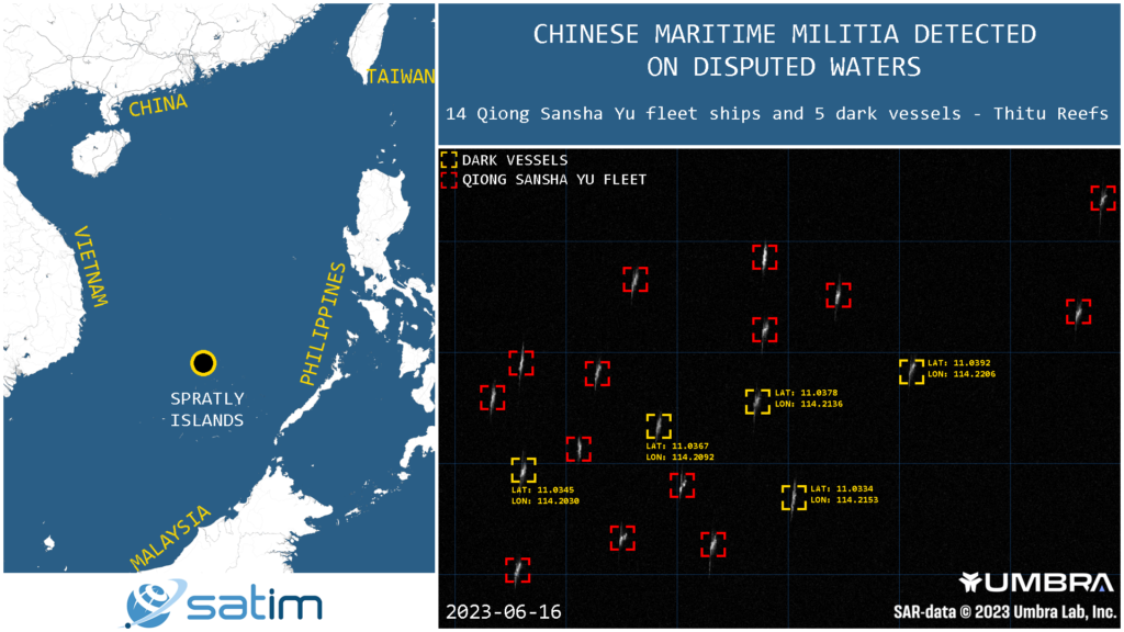
Qiong Sansha Yu fishing vessels are CHINESE MARITIME MILITIA ships in disguise.
On June 16, 2023, Satim, using Umbra satellite SAR imagery, automatically detected 14 ships from China’s Qiong Sansha Yu fleet in disputed waters near Thitu (Pag-asa) Island, a significant island in the Spratly Islands archipelago held by the Philippines.
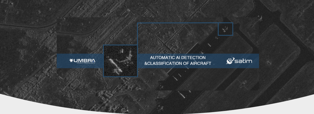
Suspicious activity was initially monitored by Satim on Sentinel 2 images. Subsequently, by leveraging high-resolution Umbra SAR imagery, AIS data, and Satim’s AI-based solution, a total of 14 Chinese ships from the Qiong Sansha Yu fleet and 5 dark vessels were successfully detected.
Map tiles by Stamen Design, under CC BY 3.0. Data by OpenStreetMap, under CC BY SA.
The Spratly Islands are a cluster of islands and reefs situated in the South China Sea. They are subject to overlapping territorial claims by multiple nations. China, Taiwan, and Vietnam assert claims over the entirety of the Spratly Islands, while Malaysia and the Philippines claim certain portions of the archipelago. The area holds strategic importance due to its abundant fishing grounds, potential oil and gas reserves, and its location along major shipping routes.
China has continuously pursued control over these disputed territories, evident in its complete militarization of at least three of the islands in the South China Sea. These islands have been equipped with anti-ship and anti-aircraft missile systems, laser and jamming equipment, and fighter jets. Furthermore, China has established a Maritime Militia consisting of both civilian and veteran personnel, who receive support and training from the Chinese government. The concealed capabilities of the Qiong Sansha Yu fleet and China’s operations in the area pose a threat to neighbouring nations, as they extend China’s offensive capabilities beyond its mainland.
To read the complete CSIS Asia Maritime Transparency Initiative and the Center for Advanced Defense Studies (C4ADS) report on China’s Maritime Militia CLICK HERE!